Blog
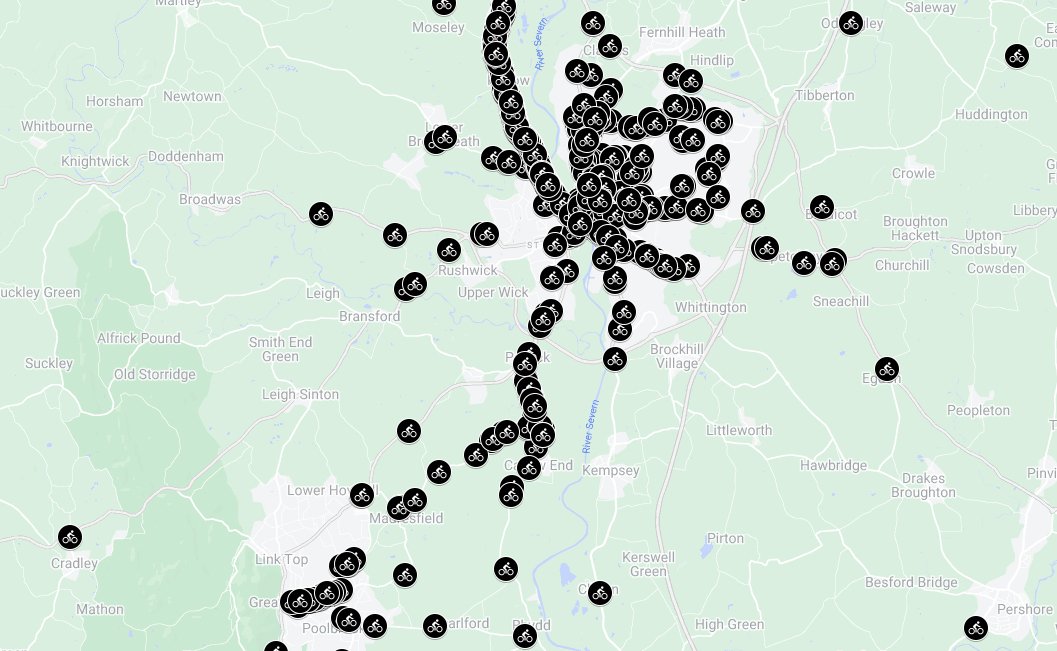
Close Pass Map
Worcester cyclists are taking safety into their own hands by mapping close calls and dangerous driving incidents. Through West Mercia's Operation Snap portal, they're reporting these incidents and providing valuable data to identify high-risk areas. This information will be used to advocate for road safety improvements and encourage safer driving behaviour around cyclists. Check out the Close Pass Map and learn how you can contribute to making Worcester's roads safer for everyone.
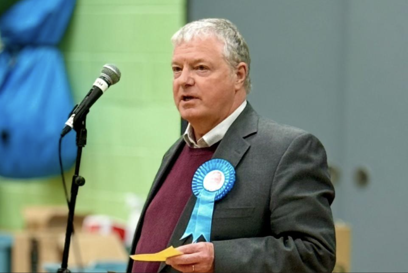
Worcester City Council meeting, and Councillor Amos is asking questions about bikes!
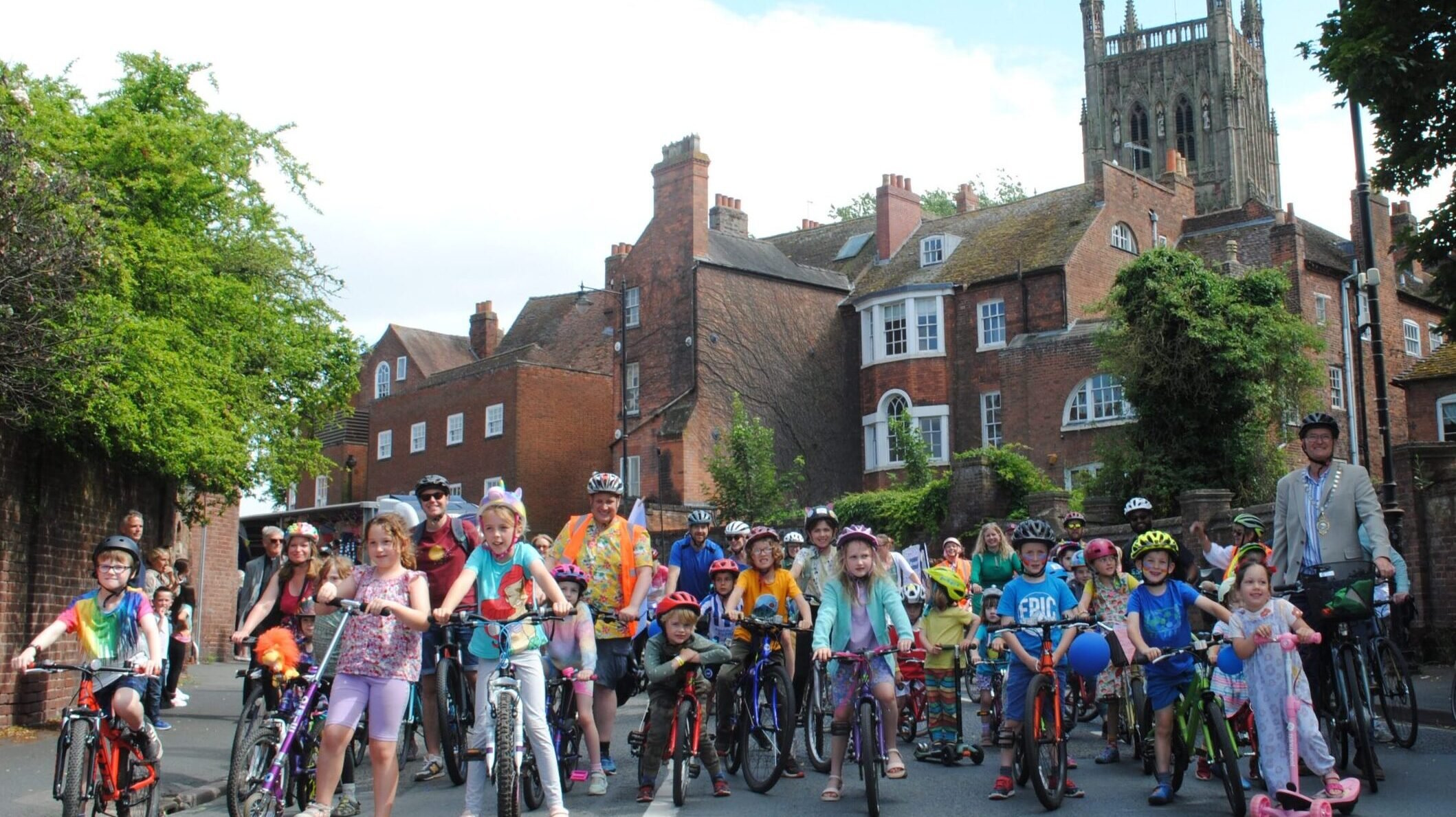
Worcester's cycling community is buzzing with activity, but also facing some obstacles. New bike buses are popping up at schools, offering a safe and fun way for kids to get to school. Meanwhile, cyclists are mapping close calls with drivers to advocate for safer roads. On the flip side, a key cycling route has been disrupted by a bridge collapse, and Alan Amos continues to voice opposition to cycling in the city centre.