So where’s the segregated cycling infrastructure in Worcester?
A couple of years back I found some interesting information from Worcestershire County Council via an FOI about the roads and paths they are responsible for maintaining. This from the earlier blog:
Since then I’ve found a few more bits of fully segregated infrastructure in Worcester, so thought it timely to document them here, so Worcestershire County Council can update their records (tongue in cheek) and local leaders can see how paltry the infrastructure is in Worcester. Let me know in the comments if I’ve missed owt and I’ll be very happy to add it to the list.
Bransford Road, location here
Length: approx 30.0m
I’m guessing this has only recently (as in the last few years) been changed from a through road for cars to a segregated bike line.
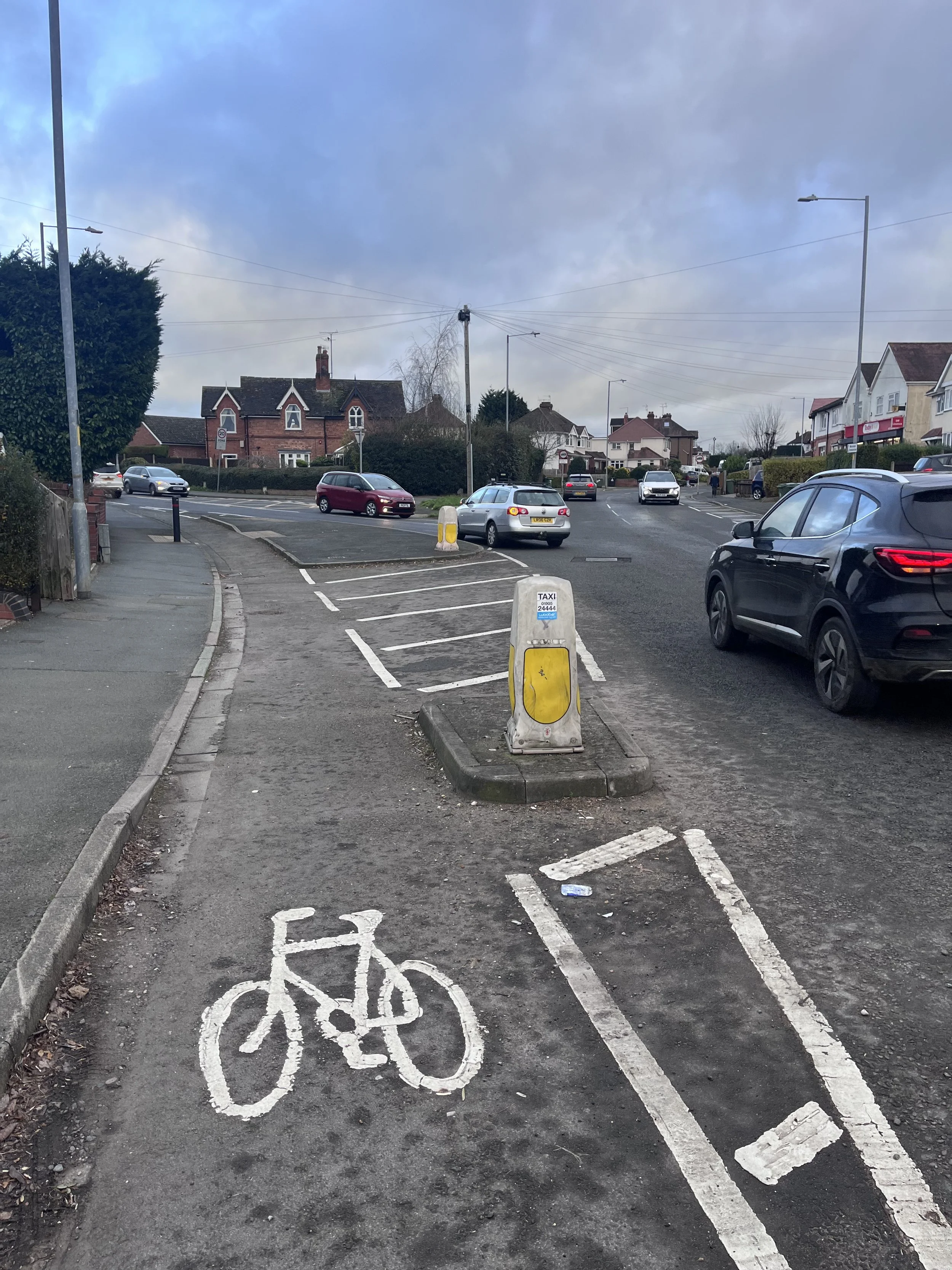
Bilford Rd, location here
Length: approx 50.0m
This is a nice bit of engineering. The cars have forced to slow down with a sharper turn, and at the same time allows people riding a bike to maintain their momentum, at the same time as providing some separation between bikes and cars. It a shame it ends so abruptly.
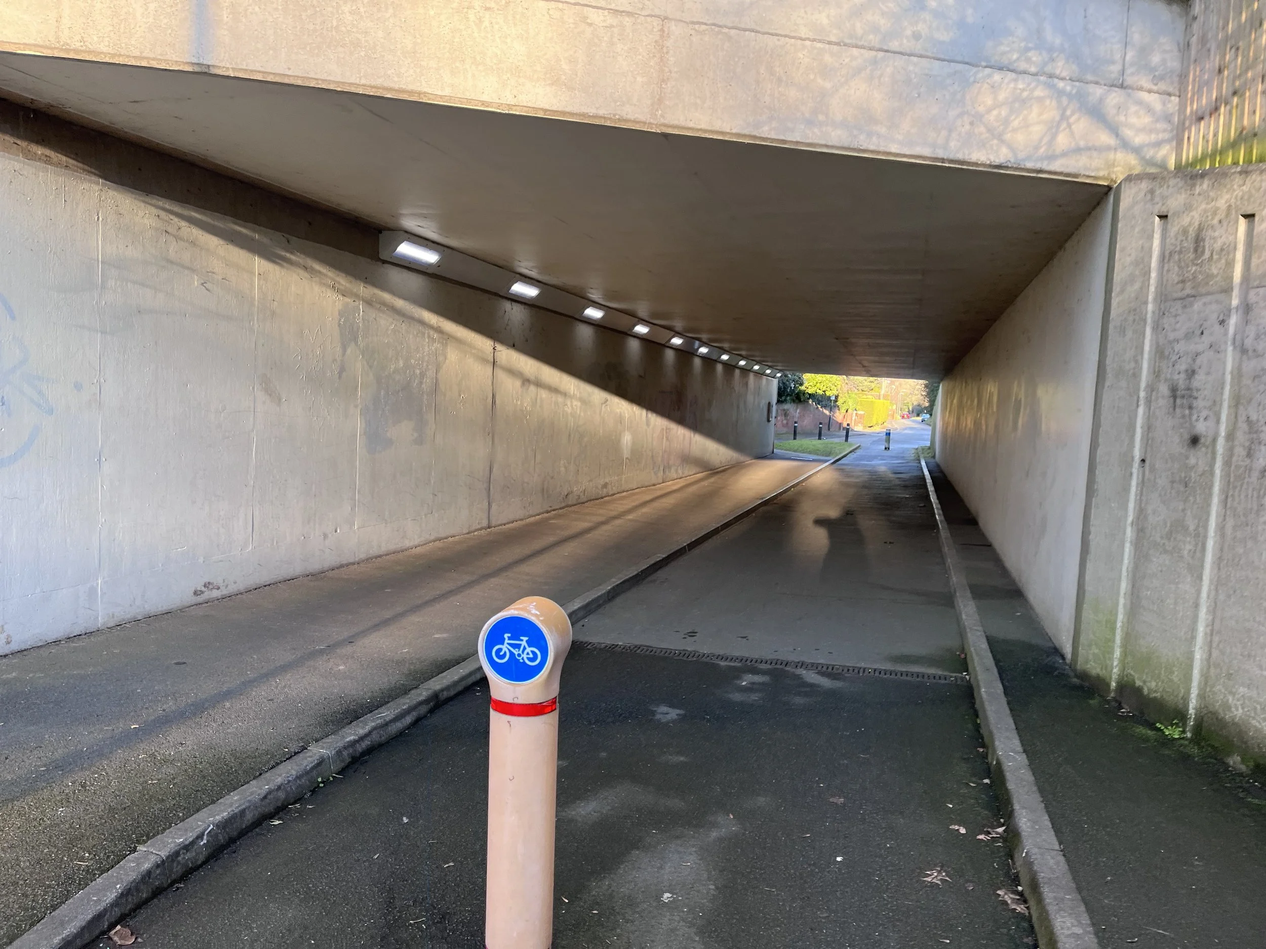
City Walls Road, location here
Length: approx 35.0m
Known locally as Elgar’s Enigma, it’s marked as a tourist attraction on Google Maps (leave a review here). If you’ve managed to arrive here after cycling along a city centre 2 lane dual carriageway it’s a welcome relief, and allows you to bypass the island completely, only to spit you back out onto said city centre 2 lane dual carriageway.
Field Road, location here
Length: approx 25.0m
Similar to Bransford Road above, and I can remember driving through this, so the bollards have gone in at some point since the 90’s.
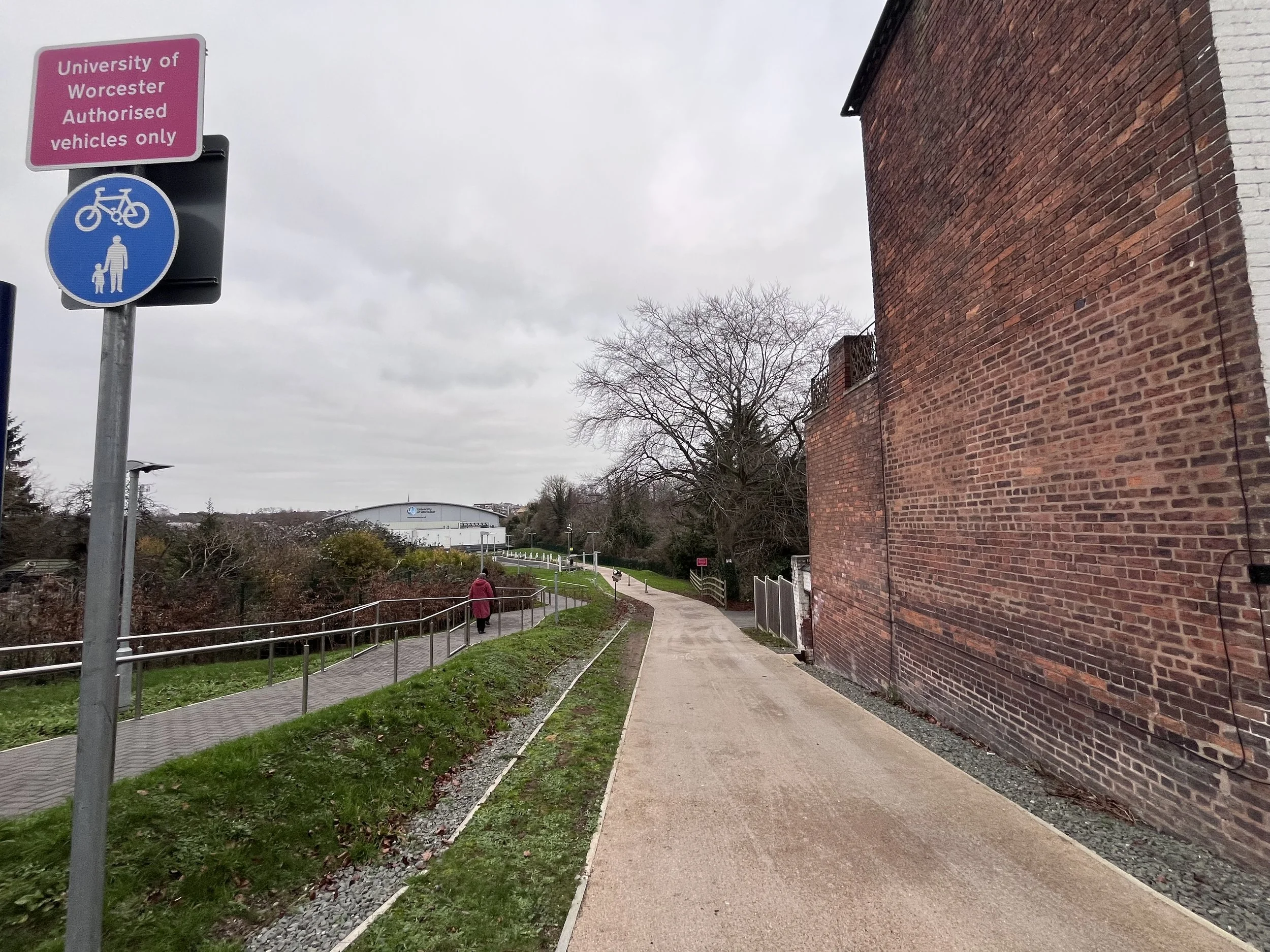
University campus, location here
Length: approx 215.0m
Pretty smart from Worcester University to include this segregated bike lane (there’s a footpath running parallel(ish) in the overall plan. Not so good is it ends in a bit of a mess, with no obvious route to Hylton Road and the occasional Cyclist Dismount sign to boot.
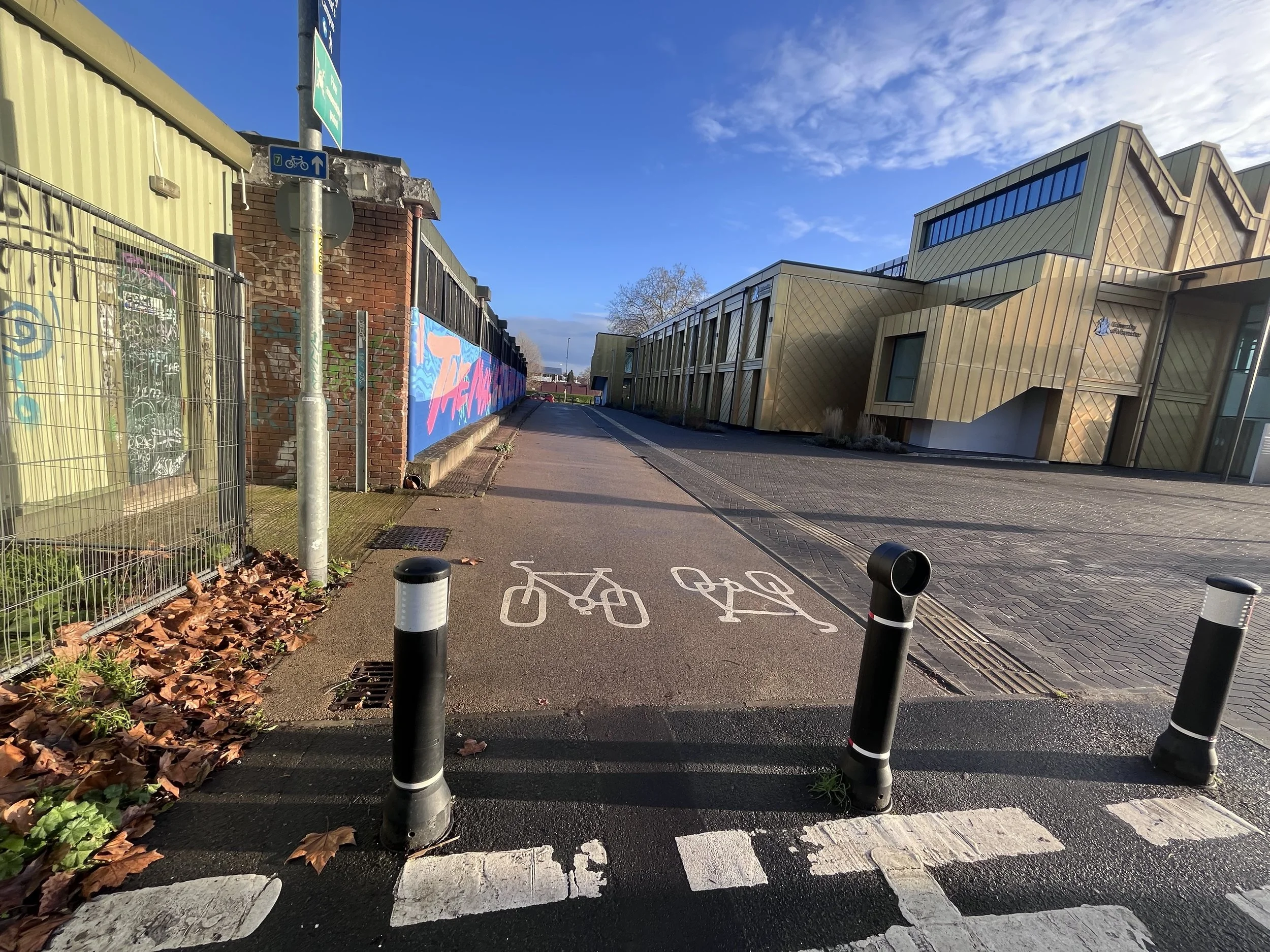
University campus, location here
Length: approx 70.0m
The bookend to the previous route running from Henwick Road via a road shared with cars, to a shared use path, to this fully segregated path (including tactile paving) to Hylton Road.
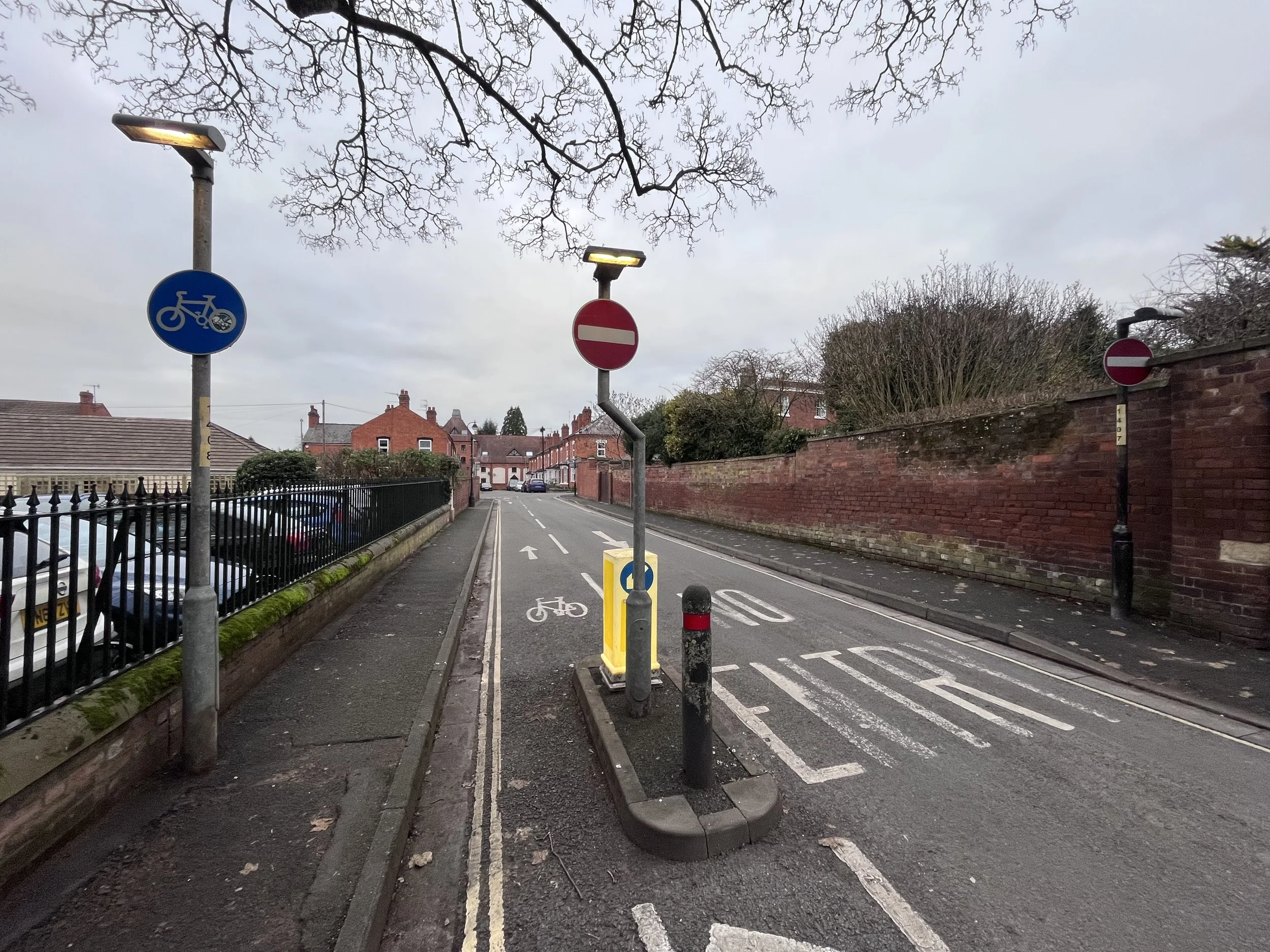
Britannia Square, location here
Length: approx 40.0m
Slightly more tenuous, but I thought I’d include it anyway as this contra flow cycle lane on a one way street is a perfect example of how better routes can be provided for people cycling at next to no cost. We done a map of other potential sites here.
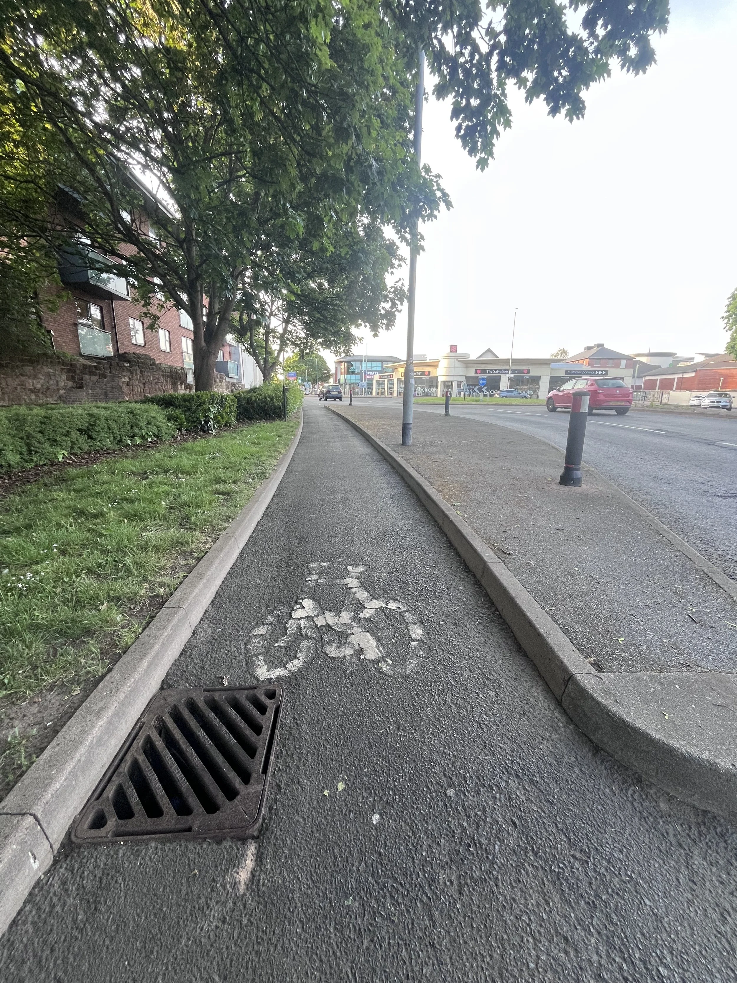
Bromwich Road, location here
Length: approx 9.5m
Proper tenuous, but I’m desperate. This is shared use cycleway / footway, path that runs parallel with Bromwich Road, but for this short sweet sweet section pedestrians and folk riding bikes are separated by a small kerb running either side of a telegraph pole.
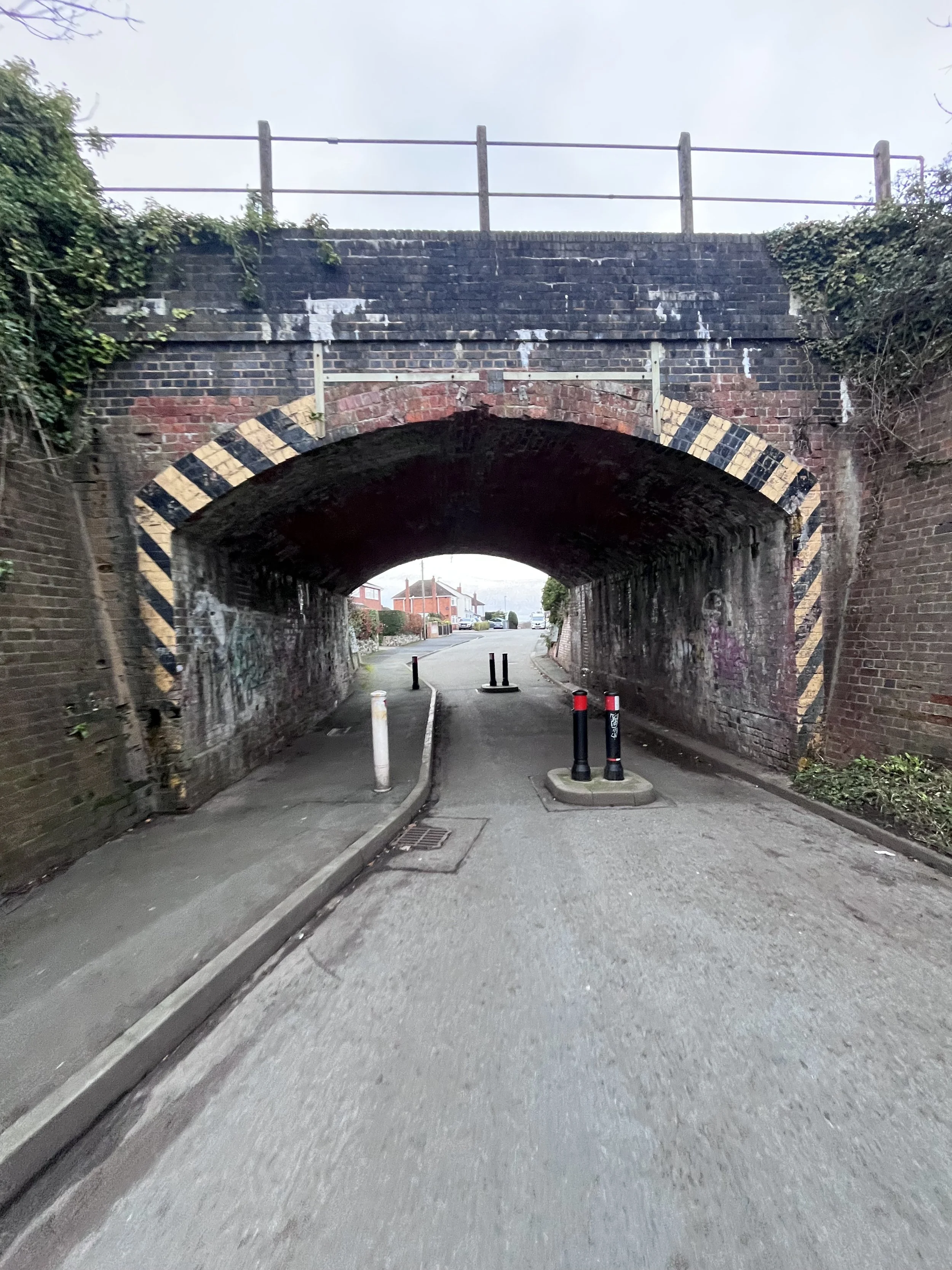
To be fair, turn round 180 deg. and there’s a great example of a side road priority crossing for pedestrians / cyclists, which features on our Infrastructure Safari map here.
If you want to ride the Infrastructure Safari there’s a Strava route here.
So there we have it. Apologies if you were expecting more. Approximately 474.5m of glorious fully armed and operational segregated bicycle lanes in the city of Worcester. Let me know your thoughts in t’comments (especially if I’ve missed anything). Oh, and go leave a review on Elgar’s Enigma (wink emoji).